

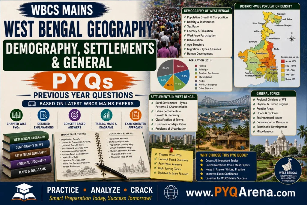
West Bengal Geography Demography, Settlements & General Questions 2023
Q. According to the Census of India, 2011, in West Bengal, the highest sex ratio was found in the district of
(A) Hooghly
(B) Darjeeling
(C) Birbhum
(D) Murshidabad
Correct Answer: (C) Birbhum
Q. Bongaon and Kolkata is connected by
(A) NH 31
(B) NH 34
(C) NH 06
(D) NH 35
Correct Answer: (D) NH 35
Q. Which district in West Bengal is known for its terracotta temples?
(A) Bankura
(B) Malda
(C) Birbhum
(D) Jalpaiguri
Correct Answer: (A) Bankura
Q. Which is the oldest mountain railway in India that is a UNESCO World Heritage Site?
(A) Konkan Railway
(B) Darjeeling Himalayan Railway
(C) Nilgiri Mountain Railway
(D) Kalka-Shimla Railway
Correct Answer: (B) Darjeeling Himalayan Railway
West Bengal Geography Demography, Settlements & General Questions 2022
Q. Name the newest district of West Bengal.
(A) Kalimpong
(B) Paschim Bardhaman
(C) Jhargram
(D) Alipur Duar
Correct Answer: (C) Jhargram
Q. According to the Census of India, 2011, in West Bengal, the highest literacy rate of population was found in the district of
(A) Purba Medinipur
(B) Kolkata
(C) North 24 Parganas
(D) Hawrah
Correct Answer: (A) Purba Medinipur
Q. In West Bengal, according to Census of India, 2011, the highest number of census towns (CTs) are found in the district of
(A) North 24 Parganas
(B) Howrah
(C) Hooghly
(D) Barddhaman
Correct Answer: (A) North 24 Parganas
Q. According to the Census of India, 2011, in West Bengal, the lowest density of population was found in the district of
(A) Darjiling
(B) Dakshin Dinajpur
(C) Bankura
(D) Purulia
Correct Answer: (D) Purulia
West Bengal Geography Demography, Settlements & General Questions 2021
Q. First metro rail was started in India at Kolkata on
(A) 5th April, 1981
(B) 15th August, 1982
(C) 24th October, 1984
(D) 13th January, 1991
Correct Answer: (C) 24th October, 1984
West Bengal Geography Demography, Settlements & General Questions 2019
Q. ______ is a central university in West Bengal.
(A) Gour Banga University
(B) Rabindra Bharati
(C) Vishwa Bharati
(D) University of Calcutta
Correct Answer: (C) Vishwa Bharati
Q. According to the Census of India, 2011, the sex ratio of West Bengal is ______.
(A) 947
(B) 948
(C) 938
(D) 958
Correct Answer: (A) 947
Q. Bangladesh accesses the enclaves in Cooch Bihar through ______ corridor.
(A) Teen Bigha
(B) Darjeeling
(C) Jalpaiguri
(D) None of the above
Correct Answer: (A) Teen Bigha
West Bengal Geography Demography, Settlements & General Questions 2017
Q. The most vulnerable tribal community in West Bengal is
(A) Santhal
(B) Munda
(C) Birhore
(D) Toto
Correct Answer: (D) Toto
Q. The district having the highest percentage of ST population (in 2011) in West Bengal is
(A) Darjeeling
(B) Alipurduar
(C) Purulia
(D) Dakshin Dinajpur
Correct Answer: (B) Alipurduar
Q. The number of class I towns in West Bengal is
(A) 68
(B) 58
(C) 48
(D) 38
Correct Answer: (B) 58
Q. The maximum migration (migrants by place of birth) in West Bengal (as in 2001) had occurred as
(A) Inter-district
(B) Intra-district
(C) Inter-state
(D) International
Correct Answer: (B) Intra-district
Q. The district having the lowest population density (as in 2011) in West Bengal is
(A) Darjeeling
(B) Bankura
(C) Purulia
(D) Alipurduar
Correct Answer: (C) Purulia
Q. West Bengal shares boundaries with how many foreign countries?
(A) Five
(B) Two
(C) Three
(D) Four
Correct Answer: (D) Four
Q. Which one of the following towns of West Bengal has been selected for ‘smart city’ development?
(A) Kalyani
(B) Siliguri
(C) Haldia
(D) Bidhannagar
Correct Answer: (D) Bidhannagar
Q. Which district of the following does not have Fluoride contamination in groundwater?
(A) Purulia
(B) Birbhum
(C) Bankura
(D) Nadia
Correct Answer: (D) Nadia
West Bengal Geography Demography, Settlements & General Questions 2016
Q. Level of urbanization in West Bengal in 2011 is
(A) 27·81%
(B) 31·16%
(C) 28·32%
(D) 32·24%
Correct Answer: (B) 31·16%
Q. Literacy rate of West Bengal as on 2011 is
(A) 72·04%
(B) 77·08%
(C) 78·01%
(D) 73·50%
Correct Answer: (D) 73·50%
Q. Population density of West Bengal as on 2011 is
(A) 1028 person per square km.
(B) 1023 person per square km.
(C) 1038 person per square km.
(D) 1033 person per square km.
Correct Answer: (A) 1028 person per square km.
Q. Lowest literacy rate found in West Bengal is in
(A) Purba Medinipur
(B) Koch Bihar
(C) Uttar Dinajpur
(D) Malda
Correct Answer: (C) Uttar Dinajpur
West Bengal Geography Demography, Settlements & General Questions 2015
Q. West Bengal was formed on:
(A) 1st January of 1905
(B) 15th August of 1947
(C) 26th January of 1950
(D) 14th April of 1948
Correct Answer: (B) 15th August of 1947
Q. ………………. is the largest district of West Bengal in size –
(A) South 24 Parganas
(B) Midnapore (West)
(C) Burdwan
(D) Jalpaiguri
Correct Answer: (A) South 24 Parganas
West Bengal Geography Demography, Settlements & General Questions 2014
Q. Which of the following districts of West Bengal has the lowest literacy rate in 2011?
(A) Malda
(B) Murshidabad
(C) Purulia
(D) Uttar Dinajpur
Correct Answer: (D) Uttar Dinajpur
Leave a Comment